COURSE OVERVIEW
GE0251 : Empowering Decisions with Spatial Data: Capture, Analysis, and Visualization

OVERVIEW
| COURSE TITLE | : | GE0251 : Empowering Decisions with Spatial Data: Capture, Analysis, and Visualization |
| COURSE DATE | : | Apr 07 - Apr 11 2025 |
| DURATION | : | 5 Days |
| INSTRUCTOR | : | Mr. Amer Alkhatib |
| VENUE | : | Abu Dhabi, UAE |
| COURSE FEE | : | $ 5500 |
| Register For Course Outline | ||
Course Description
This practical and highly-interactive course includes various practical sessions and exercises. Theory learnt will be applied using our state-of-the-art simulators.
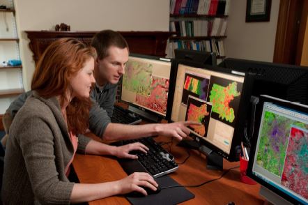
This course is designed to provide participants with a detailed and up-to-date overview of GIS, spatial analysis and modeling. It covers the spatial analysis including the basic techniques and toolsets; the spatial interpolation, kriging, IDW, theissen polygons, inverse-distance weighting and creating a buffer; the basic elements of spatial information required to undertake spatial analysis; the spatial statistics toolbox as well as the conversion tool and map overlay operations; and the calculation of effective distance, point pattern analysis and kernel density estimation.
During this interactive course, participants will learn the geo referencing, projection and transformation; editing attributes and records; the symbology, classification and spatial autocorrelation tool; the raster and image analysis, map algebra, raster conversion, raster calculation and reclassification; the basic spatial modelling approaches; the role of GIS in spatial modelling; and the model builder and spatial modelling example.
link to course overview PDF
This course is designed to provide participants with a detailed and up-to-date overview of GIS, spatial analysis and modeling. It covers the spatial analysis including the basic techniques and toolsets; the spatial interpolation, kriging, IDW, theissen polygons, inverse-distance weighting and creating a buffer; the basic elements of spatial information required to undertake spatial analysis; the spatial statistics toolbox as well as the conversion tool and map overlay operations; and the calculation of effective distance, point pattern analysis and kernel density estimation.
During this interactive course, participants will learn the geo referencing, projection and transformation; editing attributes and records; the symbology, classification and spatial autocorrelation tool; the raster and image analysis, map algebra, raster conversion, raster calculation and reclassification; the basic spatial modelling approaches; the role of GIS in spatial modelling; and the model builder and spatial modelling example.
TRAINING METHODOLOGY
This interactive training course includes the following training methodologies:
LecturesPractical Workshops & Work Presentations
Hands-on Practical Exercises & Case Studies
Simulators (Hardware & Software) & Videos
In an unlikely event, the course instructor may modify the above training methodology for technical reasons.
VIRTUAL TRAINING (IF APPLICABLE)
If this course is delivered online as a Virtual Training, the following limitations will be applicable:
| Certificates | : | Only soft copy certificates will be issued |
| Training Materials | : | Only soft copy materials will be issued |
| Training Methodology | : | 80% theory, 20% practical |
| Training Program | : | 4 hours per day, from 09:30 to 13:30 |
RELATED COURSES

GE0017 : P&IDs, Pipe Sizing, Piping Layouts & Isometrics
- Date: May 04 - May 08 / 3 Days
- Location: Al Khobar, KSA
- Course Details Register

GE0631 : Facility Planning and Management
- Date: Apr 27 - May 01 / 3 Days
- Location: Dubai, UAE
- Course Details Register

GE0251 : Empowering Decisions with Spatial Data: Capture, Analysis, and Visualization
- Date: Apr 07 - Apr 11 / 3 Days
- Location: Abu Dhabi, UAE
- Course Details Register

GE0629(OA1) : Facility Management
- Date: May 12 - May 16 / 3 Days
- Location: Abu Dhabi, UAE
- Course Details Register
